Kenya
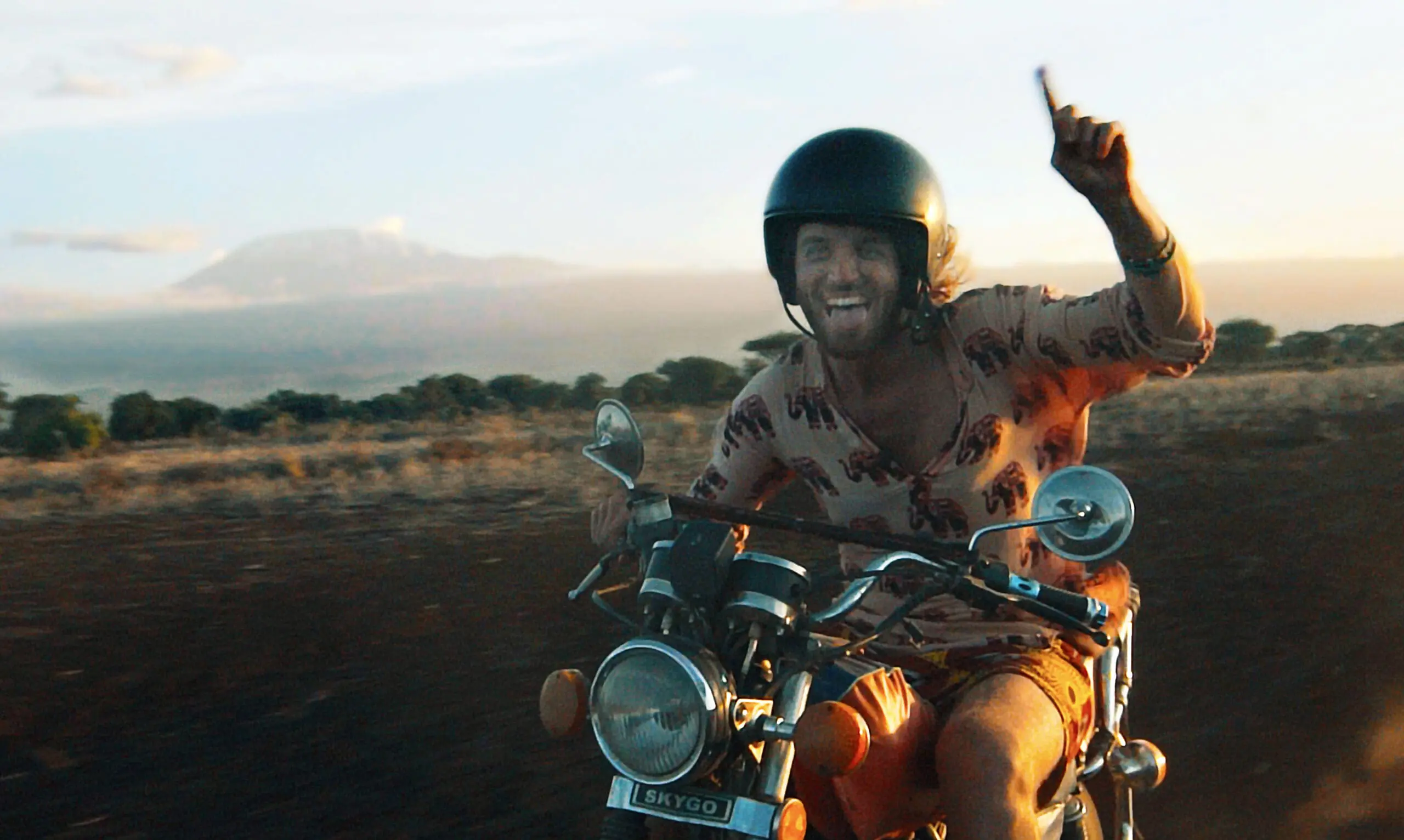
Kenya is an incredibly diverse destination, perfect for travelers who want to experience everything. From adventurous safari treks to wild motorcycle rides through the desert, Kenya has it all. Plan your ideal Kenya experience with the help of our Kenya travel experts.
Charlie's way of traveling
1. Africa is our home
We know it from the farthest corners, and that results in amazing trips. We put them together by venturing out there ourselves. Believe us, you won't find these experiences anywhere else!
2. Local experiences
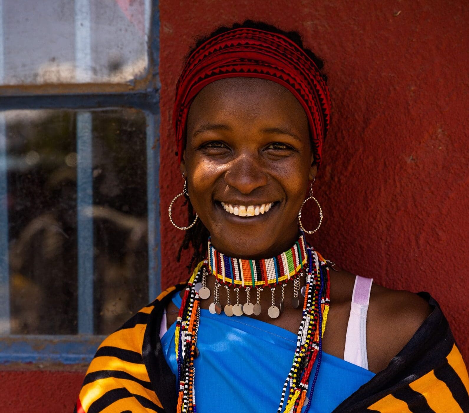
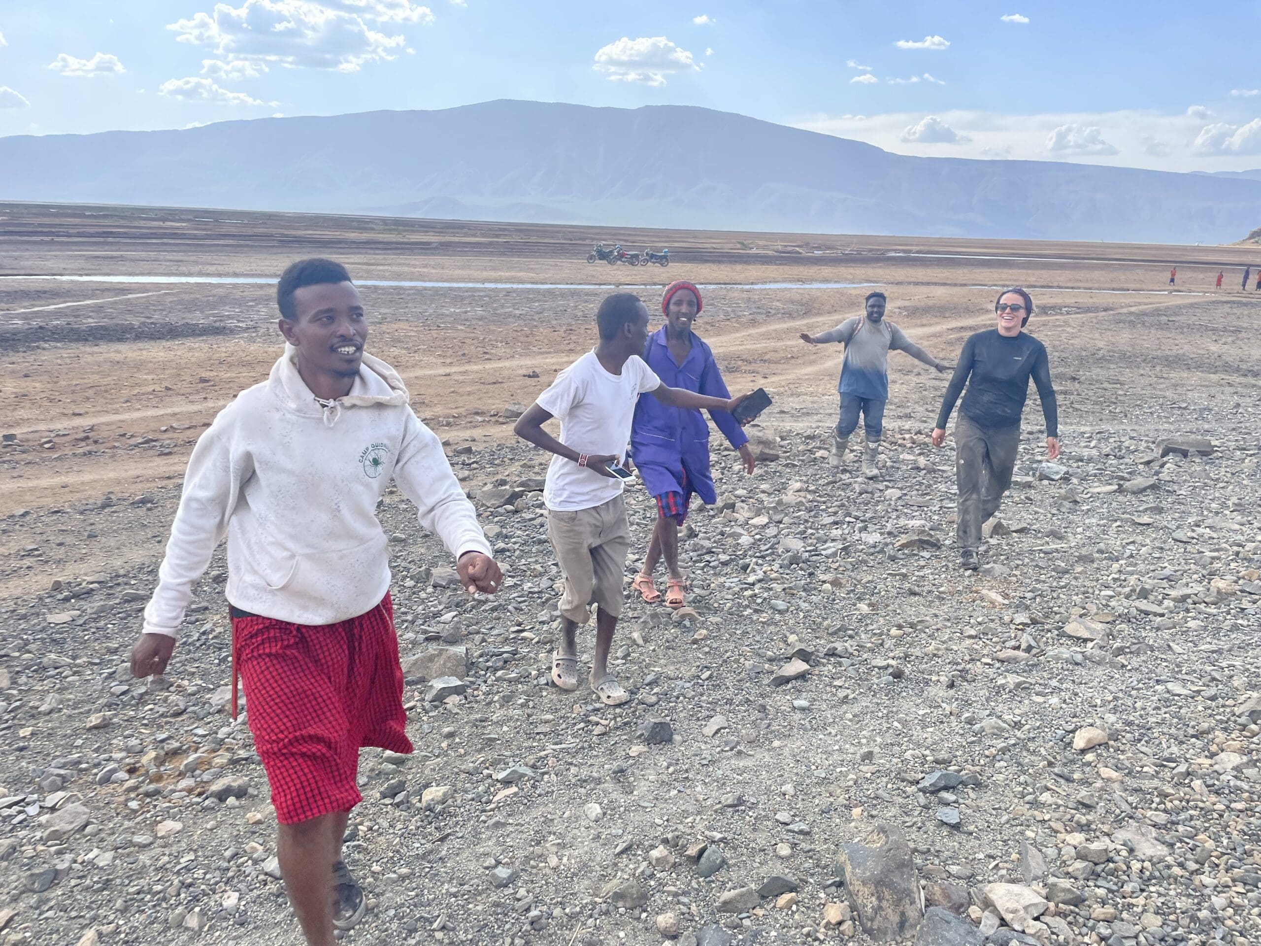
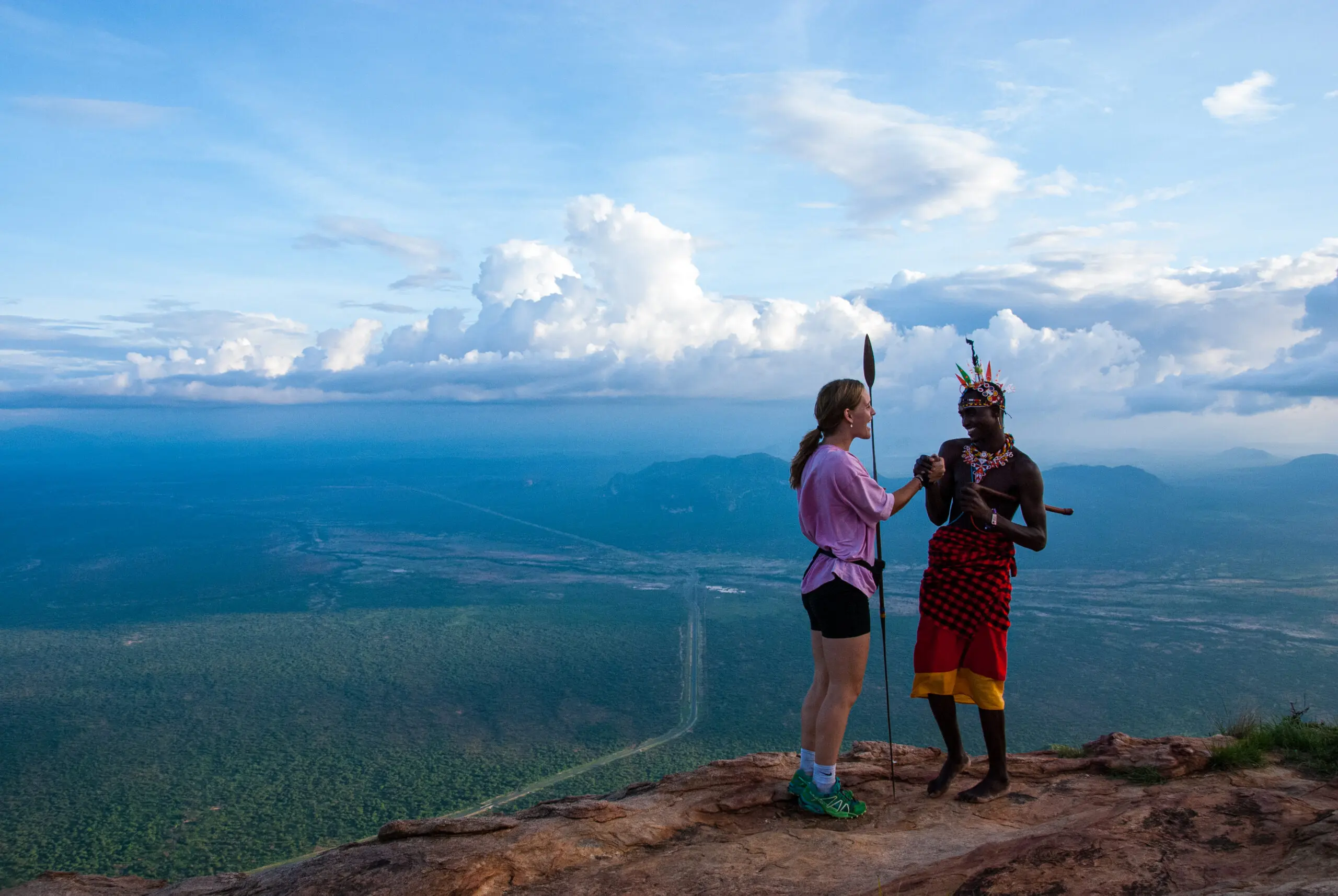
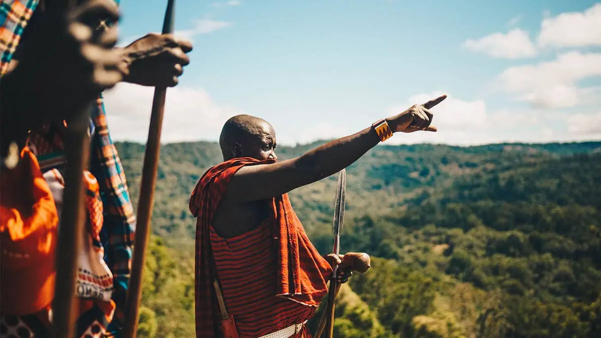
That means you'll visit local people in their villages and communities. Hike with the Maasai, cook with your host family in a homestay, and cast a line with traditional fishermen.
3. You decide
So, what are you in the mood for? We'll custom-tailor the entire trip to your wishes. And you can count on us along the way, even at night.
4. Travel responsibly
While you enjoy your dream trip, you'll be contributing to the development of local communities, economies, and the environment. That feels good!
Discover Kenya, the destination that has it all
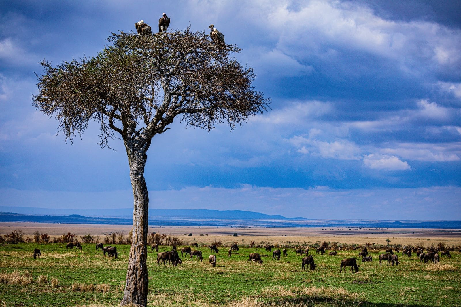
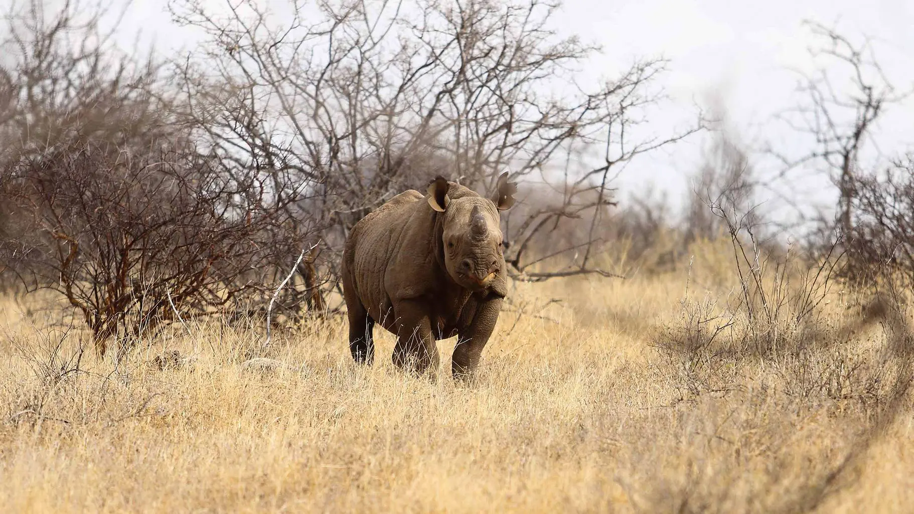
Did you know that Kenya is one of the most beloved safari destinations in Africa? You'll find the most beautiful nature parks in the world, teeming with the big five wildlife. But there's so much more. During your trip, you'll hop between lush green tea fields, expansive savannas, and the massive hippos along the shores of Lake Naivasha. And let's not forget the pristine white beaches - imagine yourself kitesurfing in the azure blue waters. The Kenyan coast is a true kitesurfing hotspot.
The cultures you'll immerse yourself in add an extra dimension to your journey. You can camp in the untouched Chyulu Hills guided by locals, take a street tour of the capital Nairobi with the Nai Nami boys, and stay in a homestay in the Taita Hills.
No matter how you choose to experience Kenya, the local people will let you connect with the country in its purest form and broaden your worldview. Our Dutch Kenya-experts, who live in this beautiful country, are ready to provide you with personalized travel advice.
Unique experiences in Kenya
Chyulu Hills
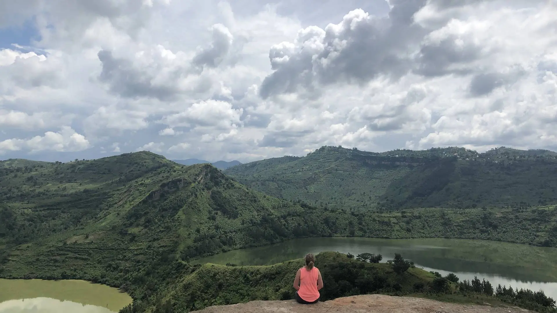
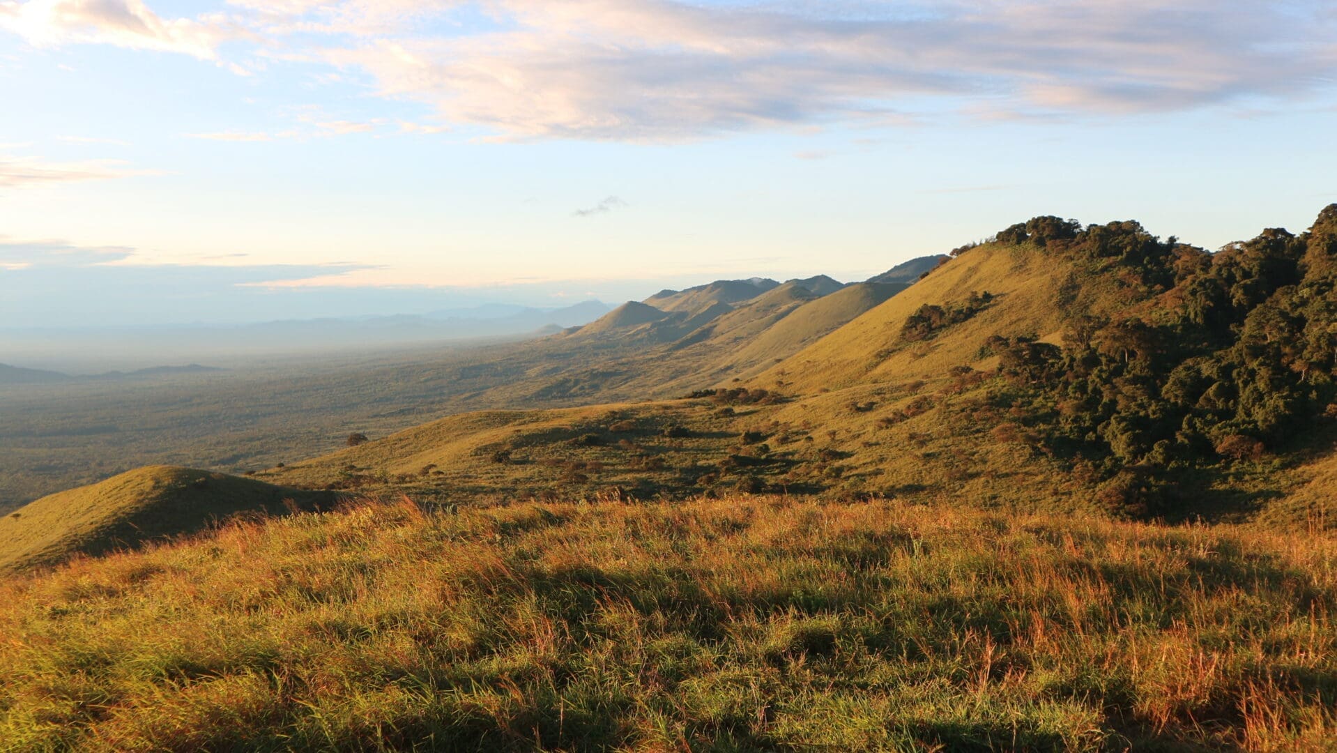
The Chyulu Hills are a hidden gem between Amboseli and Tsavo in Kenya. At an altitude of 2,188 metres, you can enjoy a stunning view of hills, volcanic craters, and solidified lava flows.
Motorsafari Magadi
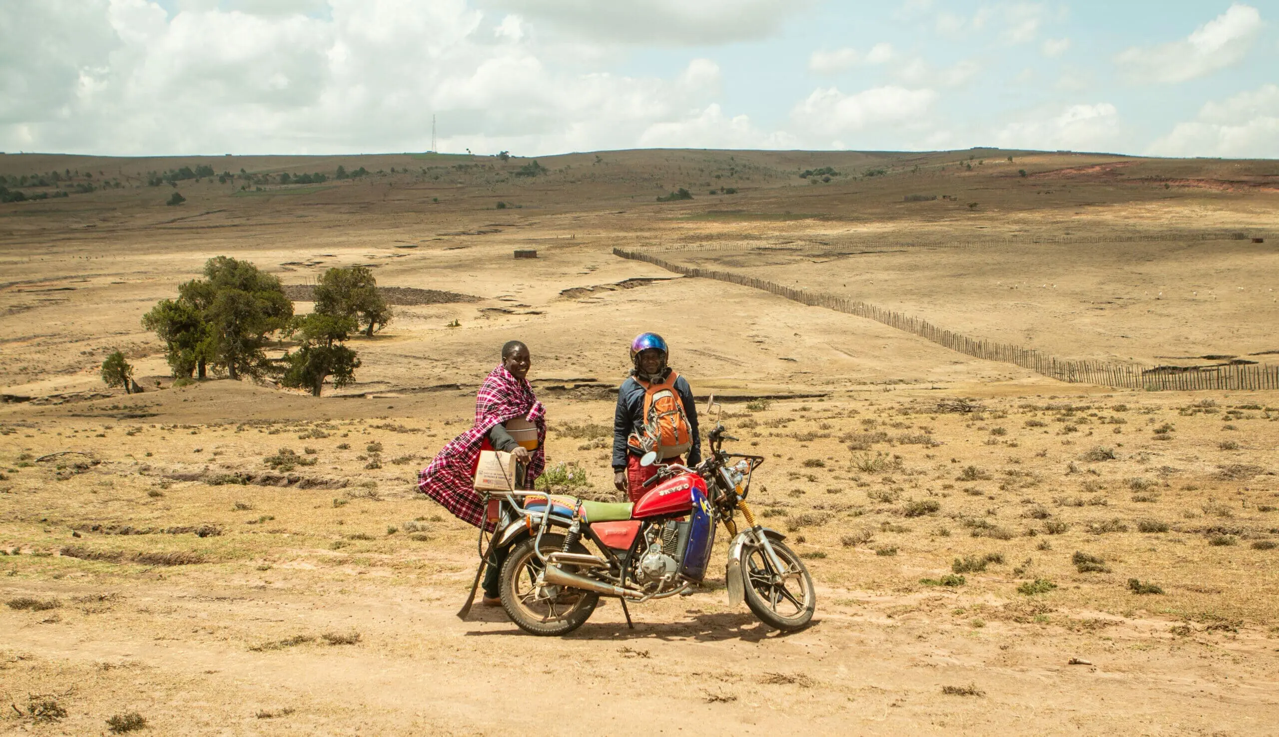
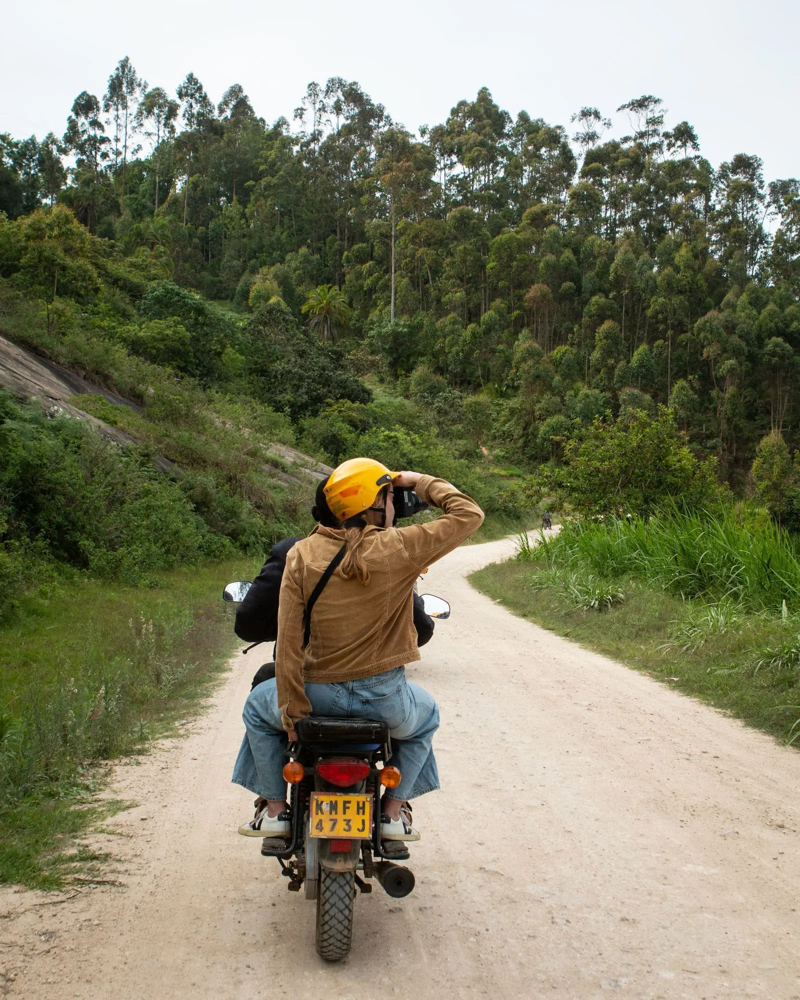
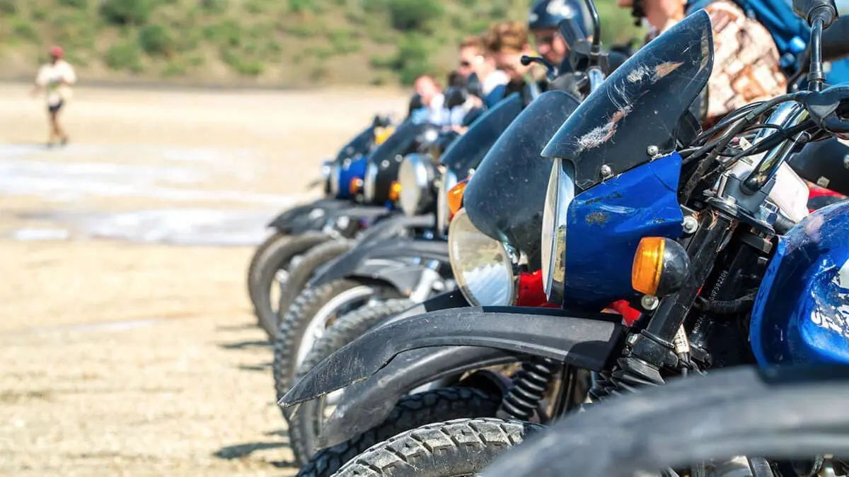
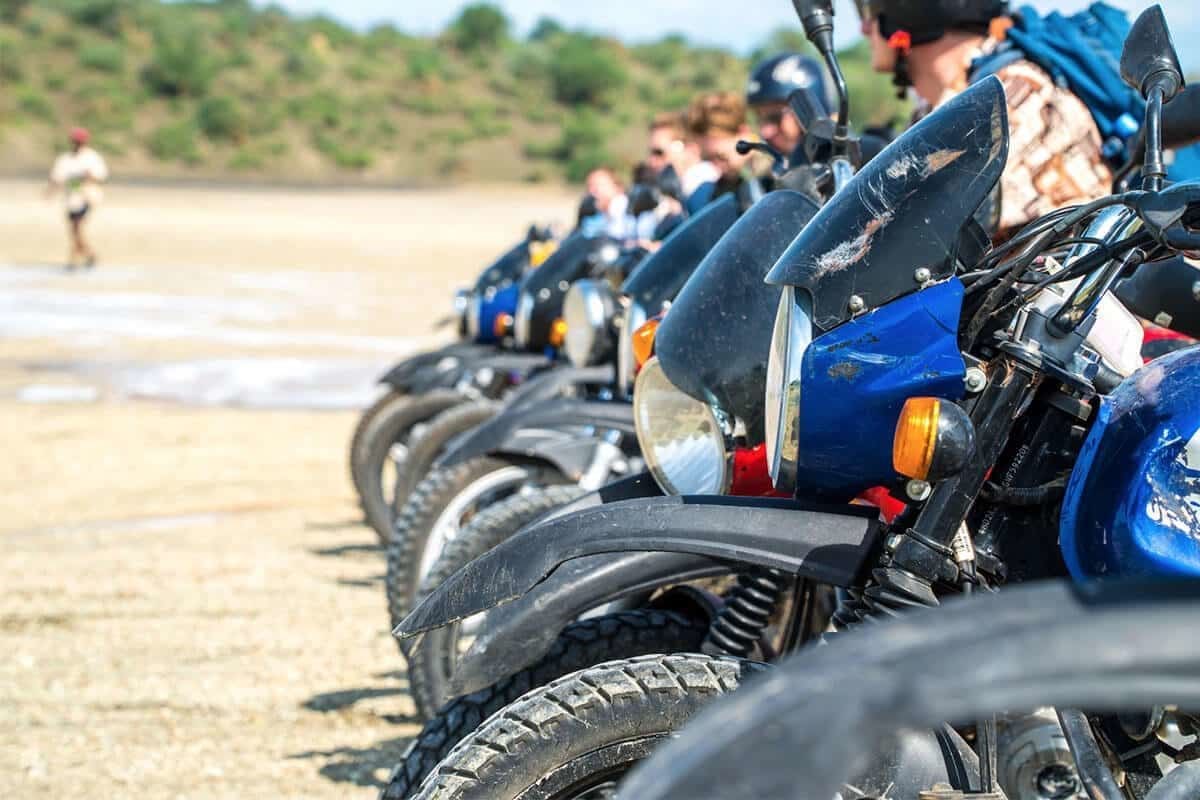
Whether you ride yourself or sit on the back with one of our experienced local guides, you will cross the desolate plains of the Magadi Desert by motorbike, immersing yourself in Kenyan culture, wildlife, and nature.
Kakamega Forest Walk
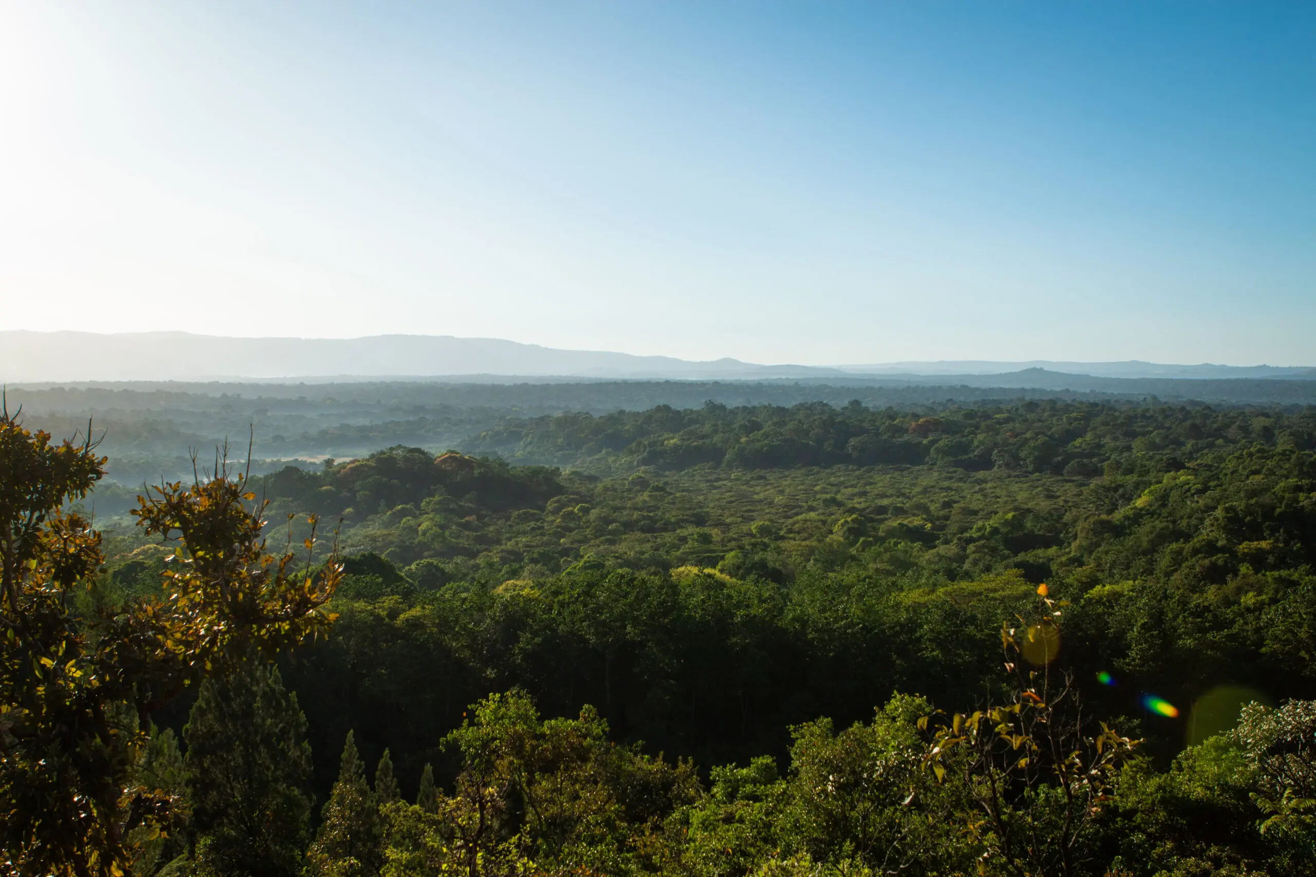
An impenetrable green forest where the sound of singing birds echoes through the air, the scent of damp moss tickles your nose, and towering trees surround you at every step.
Mount Suswa
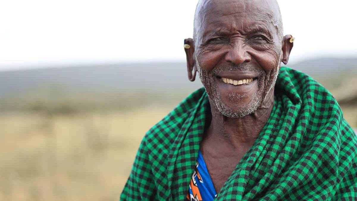
A stunning motorbike ride with views of volcanoes, hidden lava caves, a hike to the crater, and a visit to Maasai Reuben and his remarkably large family. Welcome to Mount Suswa!
Perfect to combine with the following highlights
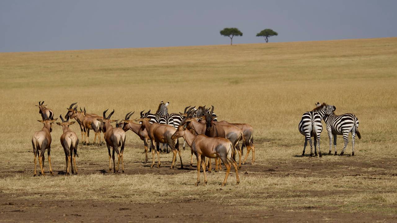
Masai Mara
Also known for the Mara River, where the Great Migration takes place annually.
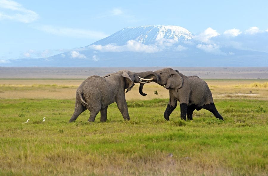
Amboseli National Park
Here, you'll find these massive creatures with the mighty Kilimanjaro in the background.
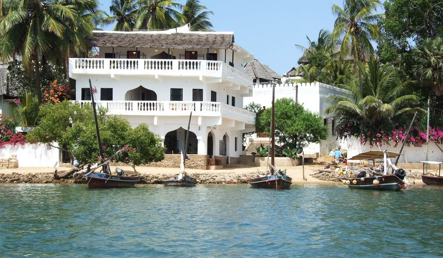
Lamu
The oldest inhabited town in Kenya and the ultimate historical and cultural melting pot.
Make an enquiry!
Fill in your travel preferences here, and we will contact you within one working day.
Carefree adventures in Africa
4.8 on Google reviews
More than 400 travellers are fan of our personal approach, authentic destinations and flexibility.
100% financial protection
Your money is safely held by the Stichting Veilig Verzekerd Op Reis foundation until right before departure.
5.000+
travellers
We've been creating trips for all types of travelers for 10 years - from families to friend groups to couples.
Charlie's way of traveling
1. Africa is our home
We know it from the farthest corners, and that results in amazing trips. We put them together by venturing out there ourselves. Believe us, you won't find these experiences anywhere else!
2. Local experiences
That means you'll visit local people in their villages and communities. Hike with the Maasai, cook with your host family in a homestay, and cast a line with traditional fishermen.
3. You decide
So, what are you in the mood for? We'll custom-tailor the entire trip to your wishes. And you can count on us along the way, even at night.
4. Travel responsibly
While you enjoy your dream trip, you'll be contributing to the development of local communities, economies, and the environment. That feels good!
Discover our example trips
What such a trip to Kenya might look like? Well, like this! All of these experiences have been curated by our Kenya experts. What’s your dream journey?
What a refined balance between adventure and relaxation! Each lodge had its own charm, from infinity pools to intimate dinners under the stars. The organisation by Charlie’s Travels was flawless, and the personal touches, such as a private guide and a tailor-made itinerary, made it extra special.
Charlie’s Travels offered us a perfectly curated trip where comfort and adventure came together. From champagne at sunset in the Masai Mara to relaxing on a secluded beach in Watamu – every moment felt special and unique. The accommodations were stylish and exclusive, and we felt pampered everywhere we went. This is the way to truly discover Africa.
We’ve just returned from our trip to Kenya, and it exceeded all our expectations. From the moment we were picked up in a private transfer to staying in exclusive lodges with phenomenal views (especially Sasaab Lodge) – everything was perfect. The service was impeccable, the food sublime, and the personal attention really made it special. The safaris were a dream; we saw the Big Five with a guide who shared so much knowledge about the wildlife.
Our motorbike journey through Kenya with Charlie’s Travels was a dream come true. The sense of freedom, the stunning landscapes, and the mix of tarmac roads and challenging off-road trails made this an experience we’ll never forget. The Charlie’s Travels team ensured everything was perfectly arranged, from reliable motorbikes to charming accommodations along the way. This was adventure at its finest, and I’d do it all over again in a heartbeat!
What an adventure! From the winding roads through lush green hills to the rugged plains of the Rift Valley—every day brought something new. The balance between thrilling rides and moments of relaxation was perfect. My favourite moment? Riding through a small village and being greeted by smiling children. This isn’t just a trip; it’s an experience that immerses you in the soul of Kenya. Thank you, Charlie’s Travels, for this unforgettable adventure!
Had a fantastic trip with Charlie’s Travels. Every little detail of the trip through Uganda, Rwanda and Kenya was thought through, making the trip flawless. A must for group travel!
With eleven guests, we spent two weeks in Kenya, Rwanda, and Uganda. Thanks to their tremendous effort and creativity, we had an unforgettable trip. We also had a lot of fun with the traveling chef, drivers, and various guides. If you want to be surprised in Africa, give them a call!
What a fantastic trip. If you love adventure, culture, and wildlife, then Charlie’s is the place for you. I was still savoring the experience long after the trip ended. Go for it, I would say—you don’t know what you’re missing!
“We were 12 girls who went to Kenya for 2 weeks, and we had a fantastic trip. All the elements that were important to us were covered during our journey! The communication with Charlie’s Travels was excellent, both before and during the trip. We were surprised every day!!!”
“We had an amazing trip to Kenya with my student association through Charlie’s Travels. We stayed with the Maasai (a small tribe in the middle of nowhere). It was special to see how these people live and sustain themselves. Overall, it was a fantastic journey!”

Need travel advice? Ask our Africa expert
Hungry for the unknown? Our Africa experts have answers to your burning questions.


